Spain has a network of old railway lines which have been converted into shared-use gravel trails, perfect for some long-distance gravel bikepacking. Timo Rokitta and partner Mandy Rodriguez spent part of September traversing the Via Verdes network in the south of Spain and sent in this inspirational write-up of their travels.
After starting our project of crossing Spain on old railway bike paths, known as "Vias Verdes" last year, this year marked Part 2 of our journey. We initially began our journey in September 2022 in Santander on the coast of Cantabria. On the "Via Verde Santander-Mediterraneo" and the "Via Verde Ojos Negros," we rode 900 kilometres on gravel trails through the northern and central regions of the Iberian Peninsula.
After enduring two days of sometimes severe storms, this year we started in Valencia to continue our journey southward to Gibraltar via the Via Verdes. Drawing from our past experience, this year we decided not to tackle a long and challenging stage on the first day. Instead, we initially rode along the flat coastline to Gandia, a touristy town on the Mediterranean. Along the way, we passed endless orange orchards and areas with reeds towering over 5 meters high.

In Gandia, we encountered the first Via Verde. This track followed the former railway line from Gandia to Alcoi, traversing a solitary mountain landscape directly from the Mediterranean coast. The railway operated until 1969 and offered a unique karst landscape along the Rio Serpis, surrounded by high mountains and picturesque canyons. The railway, initially built and operated by a British company, was called "El Tren de los Ingleses" or "The Englishmen's Train." It served both passengers and freight transport from the Mediterranean coast near Gandia to the mountainous region of Alcoi. The route featured eight tunnels, one of which collapsed, burying several people. Additionally, 12 bridges were constructed for this route. During the heyday of the railway, locomotives consumed copious amounts of coal and water, often leaving passengers with soot-covered faces. In 1968, the old railway line was closed and dismantled.

The Via Verde path led us through Barranco del Infierno, a nearly 13-kilometer-long gorge. The landscape in this area was breathtaking and remote, creating an almost mystical atmosphere, especially when clouds drifted over the mountains.
The picturesque town of Bocairent lies on the high plateau. It felt like time had stood still here. The descent from Bocairent took us along a newly renovated Via Verde, ending in Villena, where a festival was in full swing. Residents were dressed as knights and Arabs, giving the feeling of stepping back into the Middle Ages.
From Yecla, a connecting stage took us to Albacete, where we passed through extensive olive groves and vineyards. Occasionally, we came across small lagoons teeming with various bird species. By late afternoon, we reached Albacete and explored the city on foot. We admired one of Spain's most beautiful bullfighting arenas and a replica of Jesus' burial shroud in the cathedral.
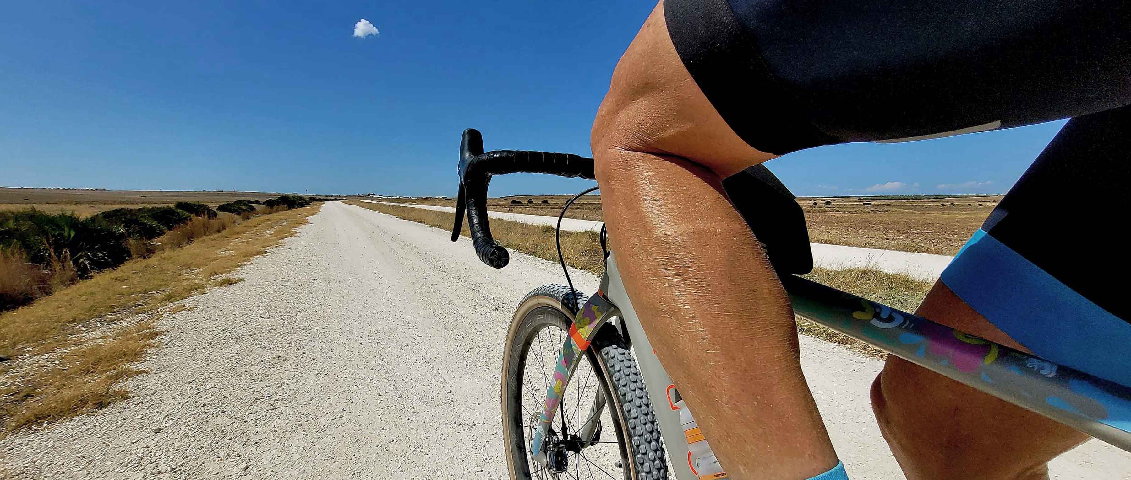
The next morning, we set off early from Albacete, facing the queen stage with over 155 kilometres ahead of us. We quickly left the city and after a short distance were on rough gravel roads. Initially, long straight stretches dominated the track, with no villages in sight. This section in particular demanded a sturdy gravel bike with profiled, puncture-resistant tyres. Next came a stretch of over 25 kilometres through the Llanos of Albacete, an endless and "natural" route. The following section to El Jardin and Alcaraz offered stunning landscapes. Bats flew around in the dark tunnels and large birds of prey circled above the mountains.
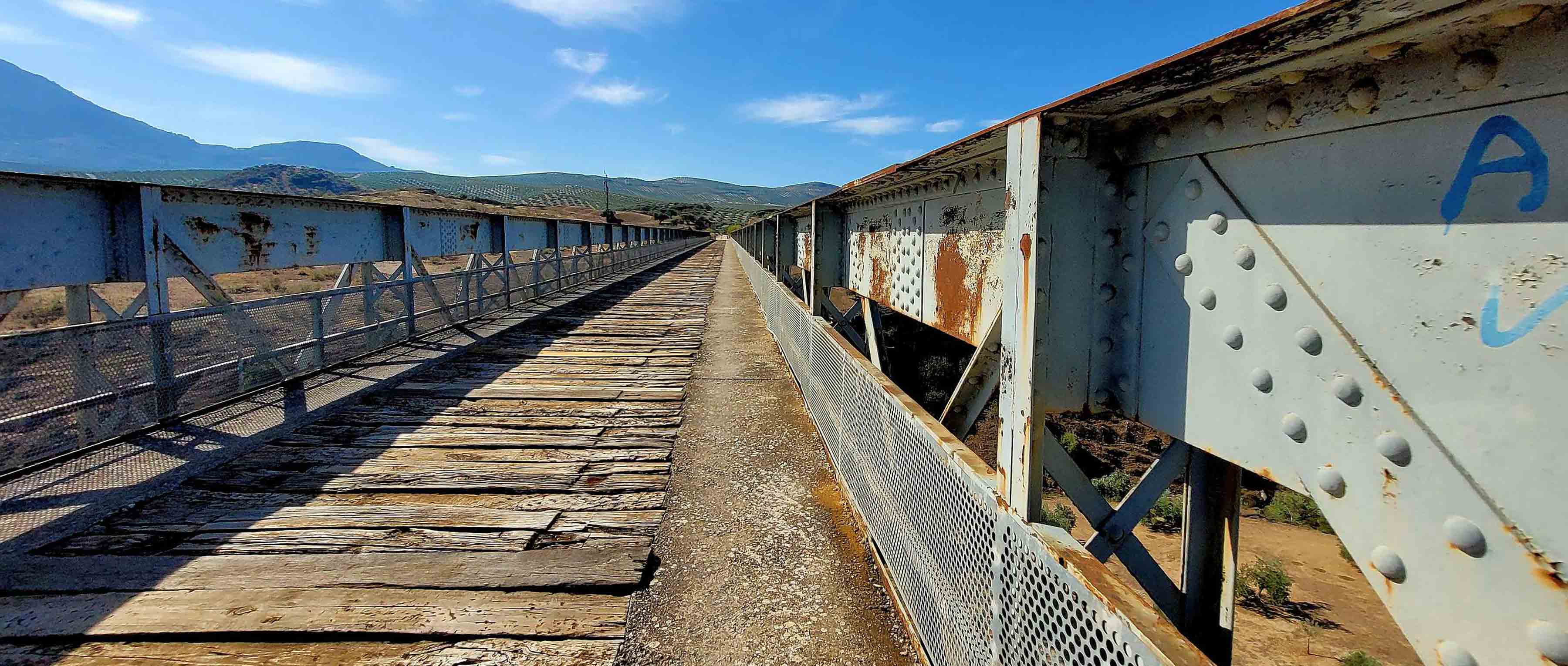
After Balazote, we passed through 20 tunnels, over 2 large viaducts and across a metal bridge. Most tunnels were not illuminated, making good bike lights essential. The bike path ended at Santuario Ntra. Sra. de Cortes.
At the Reolid station, the second section of the Via Verde began, leading us to Villapalacios and Bienservida along the former railway route. Crossing the provincial border, we entered Andalusia and saw the signs for the Via Verde de Segura.
We noticed seemingly endless olive groves in Spain, which has an estimated 300 million of them. In Santisteban del Puerto, we encountered dinosaur tracks that transported us to a distant past when humans were not yet on Earth. These tracks, about a kilometre from the town centre in the El Condado region, belonged to two-legged dinosaurs from the Triassic period. They were imprinted on red claystones, likely belonging to the archosaur group and were over 230 million years old. The shape of the tracks suggested that these dinosaurs walked on two legs, with movements similar to kangaroos. Information about their approximate size, weight, age and social habits was also available at the location. The arrangement of the 24 tracks in a specific direction suggested they were from a group of animals.

The small town of Linares welcomed us with a beautiful palm-lined avenue. In front of the bullfighting arena, a monument honoured Manuel Laureano Rodríguez Sánchez, known as "Manolete." He was famous throughout Spain for his courage in bullfighting. In numerous fights, the bullfighter gained high renown. He died in 1947 in the medical room of the bullfighting arena after being gored by the bull Islero. It is believed that a blood transfusion of the wrong blood type was the cause of death, although this was never proven. His last words were "No veo" ("I can't see").
At the beautifully restored San José train station in Linares, we began the Via Verde of the same name. The route was surprisingly downhill with a 3% gradient and required concentration due to its bumpy surface. However, it improved further along, leading through extensive olive groves. After 15 kilometres the path abruptly ended, so we continued on small, pothole-ridden roads or wide tracks to Jaen.
We started as early as possible in Jaen on the Via Verde de Aceite. Since it was a Sunday, many cyclists, hikers, joggers and even horse riders shared the path. After a few kilometres, we enjoyed clear roads, encountering only occasional mountain bikers. Though the incline was barely noticeable, we climbed nearly 600 meters on the 100-kilometre journey to Lucena.
The landscape was once again dominated by countless olive trees stretching to the horizon in the hilly terrain. After about 22 kilometres and 140 meters of ascent, we reached the first summit of the Via Verde. Here, the bike path crossed the provincial border into Cordoba on a massive railway viaduct.
The Olive Oil Greenway was established on the railway line from Jaén to Campo Real. Locally, it was known as "El Tren del Aceite," which translates to "The Olive Oil Train." Oversized metal bridges are characteristic of this route. From Lucena, it was about 20 kilometres on the Via Verde de Aceite to the unremarkable endpoint at Puente Genil. Here, we made a 90-degree turn to the right to head to Cordoba. Endless mountains and hills covered in olive trees lined our route, with the strikingly white haciendas of the "olive oil barons" often perched on hilltops.
Originally, we had planned for a leisurely ride to Cordoba, but plans don't always go as expected. The final stretch on the "Camino de Mozarabe" was gruelling, starting with a washed-out dirt road with sandy sections, followed by a rough corrugated metal track. All this, with gradients of up to 16% and temperatures exceeding 30 degrees Celsius in the shade, of which there was none.
After a well-deserved rest day in Cordoba, during which we explored the unique Mesquita and the old town, we continued to the next Via Verde, the VV de la Campina. We first crossed the Guadalquivir River and passed through Cordoba's slums. The condition of the bike path varied greatly. At the outset, there was a section with deep gravel that was impassable without knobby tires. The Via Verde de la Campina mostly took us through expansive hilly landscapes dominated by wheat fields, vineyards and olive groves.

From Fuentes de Andalucía, we rode on snow-white gravel roads under the merciless sun, with temperatures reaching 36 degrees Celsius. We reached the charming town of Marchena without a drop of water. From here, we started our penultimate stage early the next morning. Small roads led us directly into the mountains. After a brief coffee break in Pruna, we descended steeply to Olvera. Here began our final Via Verde, the Via Verde de la Sierra, one of the most impressive railway bike paths on our journey. Initially, it felt like a roller coaster ride with steep descents and numerous short tunnels.

The bike path took us through a remote, rugged and sparsely populated mountain region. The Via Verde route from Olvera to Puerto Serrano was approximately 40 kilometres long and passed over four viaducts and through thirty tunnels. From one viaduct, we observed huge vultures circling in the sky. The path was perfectly covered with fine gravel - a gravel cyclist's dream. The Via Verde now followed the Rio Guadalete to its end at the former Puerto Serrano station.
On the final leg of our journey, we crossed the mountains of Andalusia on the smallest roads. Almost every metre involved an ascent, adding nearly 1,500 meters of elevation gain on the last 120 kilometres of riding. We finished on a perfect gravel road alongside the Guadarranque River, which flowed into the sea just before La Linea de Conception.
After more than 1,100 kilometres and 9,300 metres of elevation gain, our gravel adventure on the Via Verdes in southern Spain comes to an end. Combined with our journey from last year, we have traversed Spain on these old, mostly gravel railway bike paths. As a final stop, we visited Gibraltar, famously belonging to Great Britain. God save the gravel!
If you would like to follow in Timo & Mandy’s tyre prints, you can find their route here:
Images courtesy of Timo Rokitta and Mandy Rodriguez